Perfector Floor

Laser Scan

What Is Floor Scanning?

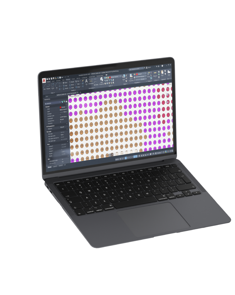
3D laser floor scanning is a non-contact measurement method used to capture the full geometry of a concrete floor surface. It uses a rotating laser system to scan the area in 360 degrees, collecting a very high number of measurement points across the entire surface.

The result is a dense 3D point cloud, where each point has an exact position and height. This allows the creation of a complete digital model of the floor with millimetric accuracy. In simple terms, it provides a detailed map showing every variation across the floor.

Why We Use 3D Laser Scanner?

We use 3D laser floor scanner because it is significantly faster than other methods such as the Dipstick Floor Profiler and can capture data across the entire floor surface, rather than being limited to predefined measurement lines.

This full-area coverage ensures that no localized defects or irregularities are missed, which can happen with line-based measurements. In addition, the system offers very high precision, typically measuring with a sensitivity of up to 0.1 mm, allowing for detailed detection of even minor surface deviations.

As a result, it provides a more complete and accurate representation of the floor condition, making it highly effective for large-scale and high-precision projects.

Explore more to understand how flatness defines operational efficiency and why precise engineering solutions are required.

How To Scan Floors?

The scanning system is set up at selected positions to cover the entire area. The device rotates and emits laser beams in all directions, measuring distances to the surface and collecting spatial data.

Multiple scans are taken if needed and combined to ensure full coverage. The collected data is then processed into a unified 3D model of the floor.

Evaluation

The scanned data is converted into a digital floor map, which can be viewed and analyzed using CAD software.

The results are typically presented with a color-coded elevation system, where:

  • Different colors represent different height levels
  • High and low areas are clearly visible

This visual representation makes it easy to:

  • Identify uneven zones
  • Understand surface deviations
  • Plan corrective actions

The analysis can be aligned with project requirements and standards to evaluate whether the floor meets the necessary tolerances.

Explore more to review the standards that define acceptance criteria and compliance requirements in detail.

Explore more

Laser Grinding

Our advanced measurement technologies and engineering methods

International Flatness Standards

Detaily understand the flatness standards like ASTM, TR34 and VDMA

Importance of Floor Flatness

Why floor flatness can affect the operation's speed, safety, and cost..

Get In Touch
Find Us
Follow Us

Send us a message

Please enable JavaScript in your browser to complete this form.